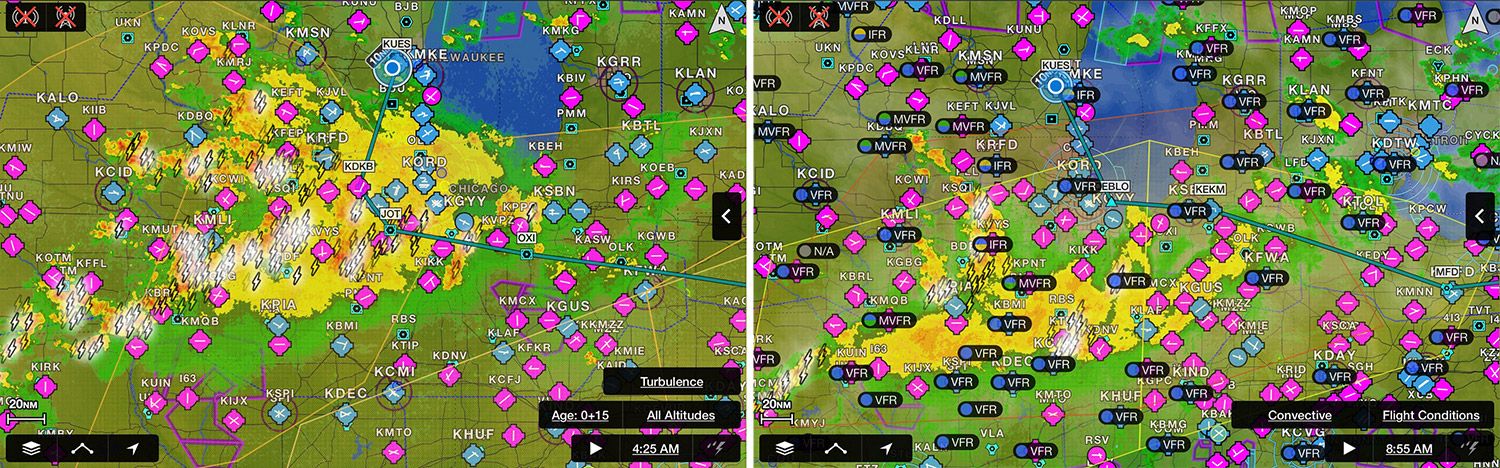
Remember what I said about weather working for or against you? After a day and a half of spectacularly accommodating conditions, the weather turned a bit while I was staying with friends in Waukesha, Wisconsin. For some reason, I woke early and popped open the Garmin Pilot app to see what Mother Nature was doing. A big glob of yellow and red is what, with lightning bolts for ornamentation. Fortunately, the system was moving toward the southeast, and I hoped that by the time I’d got up, had breakfast with my friends, and was at the airport, all would have moved off.
It did, sort of. While we ate breakfast, I watched the skies turn from blue to steely gray, and the lowest cloud layer turn from scattered to broken to overcast in the course of 45 minutes. Welcome to Wisconsin, Charlie, you might be staying awhile.
Looking more closely at the weather, I knew this was just a lower layer and that it would be clear above, with nothing more threatening than a very high overcast lingering from the overnight storms. Visibility was still good, too, but with the rotating beacon turning on the tower and the ceiling reported as 700 feet, I kept to myself in the Stein’s Aircraft Services lobby.
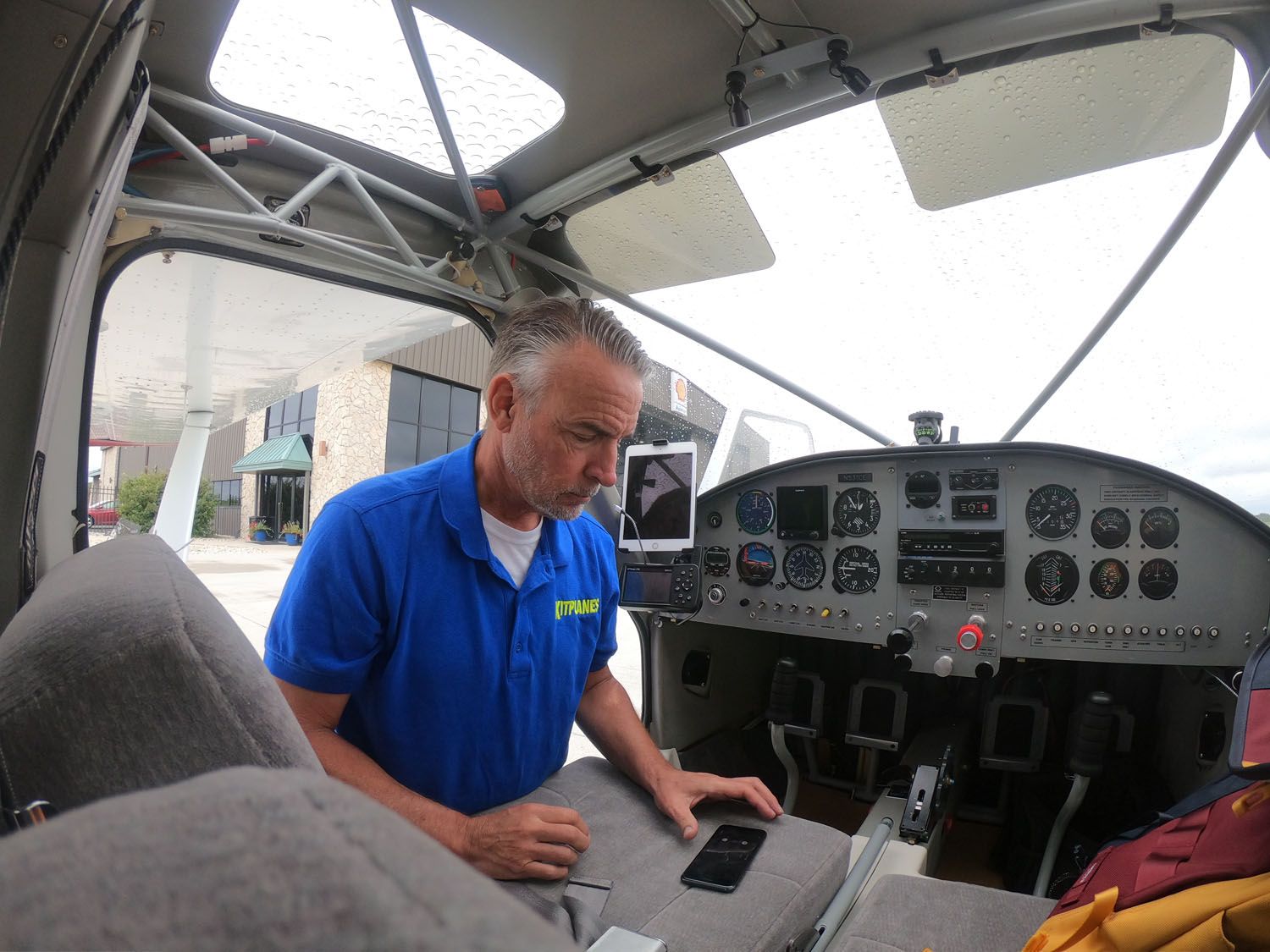
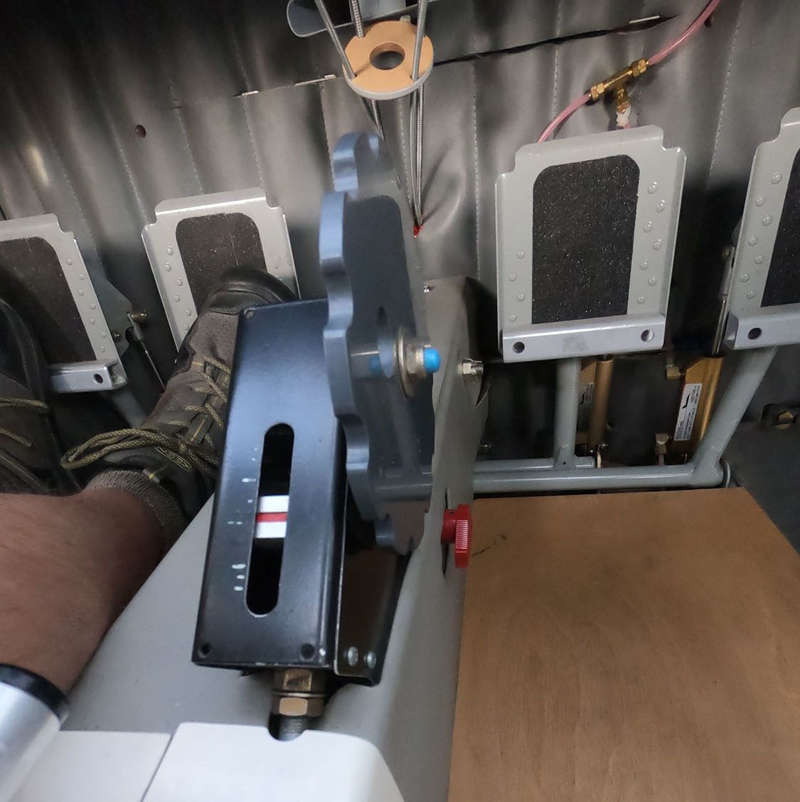
Naturally, I was checking email and sorting photos on my laptop when I happened to look up and see that the rotating beacon had stopped. Already preflighted, I didn’t have to do anything to the airplane but hop in, start up, and go. The ceiling had risen to VFR minimums, though, again, with very good visibility below the deck. I launched southbound knowing the deck wasn’t very thick or organized, and with plenty of airports to serve as my retreat points, I felt okay bouncing around beneath the scattered-to-broken layer. Soon enough I saw sunlight and as though the patron saint of GlaStars (Saint Theodore?) bid it to be so, a huge hole opened up above Kenosha. One quick circle up and I was in the clear, ready to ask for a clearance through Chicago’s Class B airspace I knew I wouldn’t get, so I kept the climb going and went over the top, albeit well away from the arrival and departure corridors in use that day. Here’s when it’s nice to have ADS-B traffic in hand.

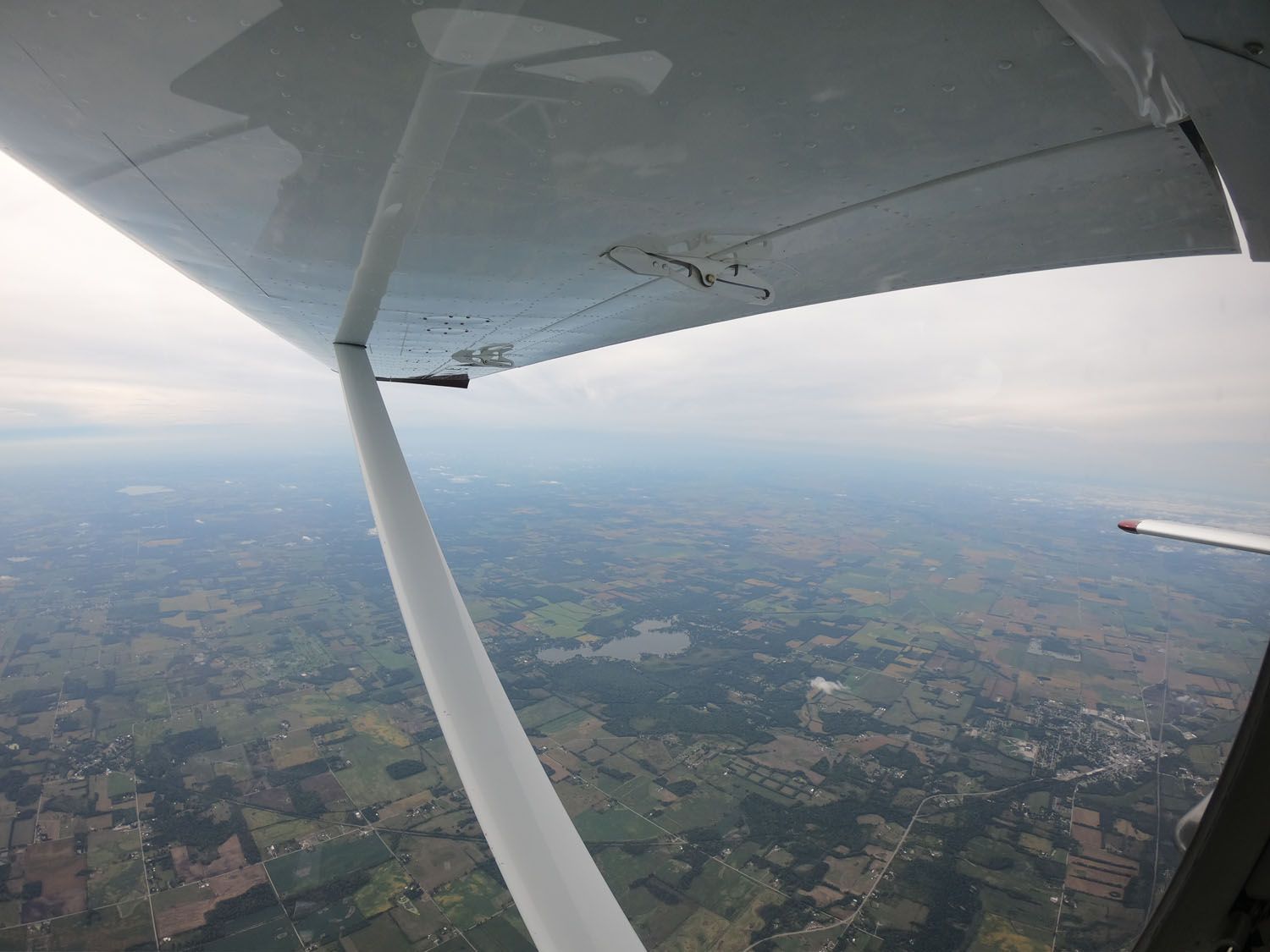
I didn’t know it at the time, but that would be the weather to contend with for the rest of the trip. (Which means, of course, I’ve burned all my good will for the rest of the year!) Fort Wayne, Indiana, Toledo, Ohio, and Cleveland all cruised by off one wingtip or the other. A clammy gray overcast made it feel every bit the 46° OAT, so I wasn’t too perturbed by a heater that wouldn’t completely shut off. I was carefully mixing in normal vented air and enjoying the breezes flitting past the door seals near the A pillar. (How come I didn’t notice any of this on the prepurchase test flight?) Still, the air was relatively smooth much of the time, the TruTrak autopilot did its thing without hiccups, and air-traffic control was accommodating.
Eventually the fuel stop landed me at Tri-City Airport (3G6), in Sebring, Ohio. The Garmin app doesn’t show either the condition of the runway (which AirNav correctly discloses as poor), or the fact that using the self-serve fuel requires you to have a card already on file. Uh-oh. Good fortune continued to be my copilot, though, as one of the owners of the strip had heard me land and walked away from his hangar project—“I’m trying to make chicken salad out of chicken s**t,” he said—to help me out. Now I felt bad thinking poorly of the cracked asphalt; can’t be easy or cheap to maintain a private airstrip with Ohio’s winters.
I’d pulled back the power a bit to see what economy cruise looked like, and the fuel pumps said the 119 knots true I was getting at 7500 feet had cost me just under 7 gph overall.
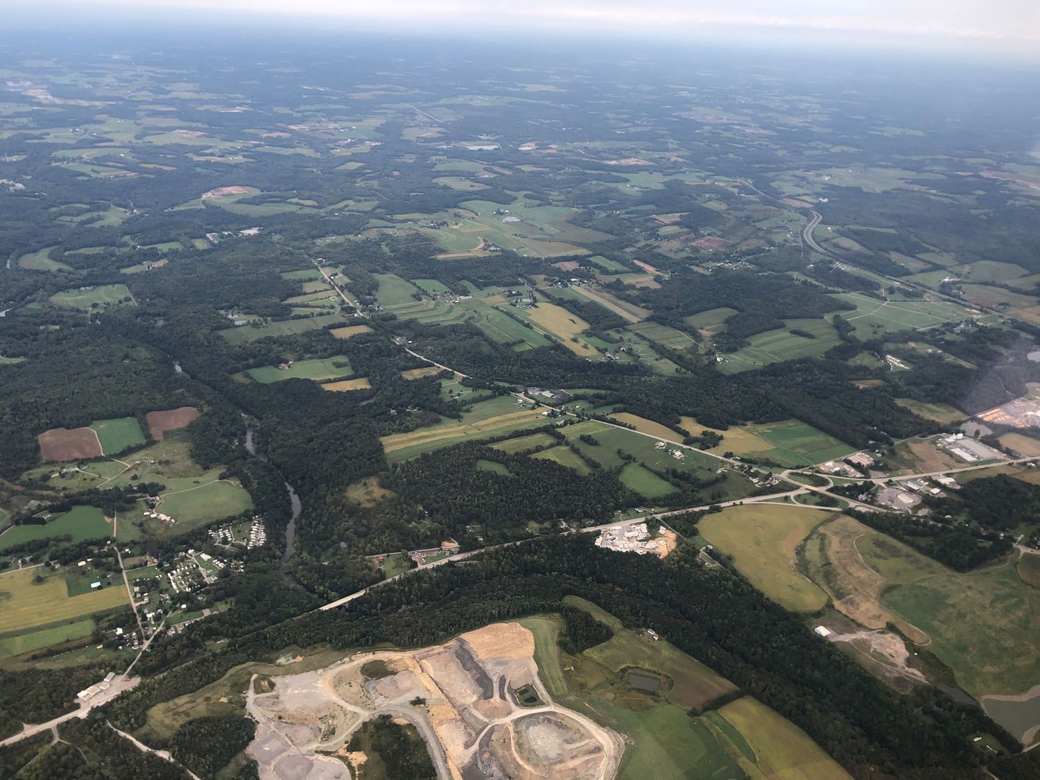
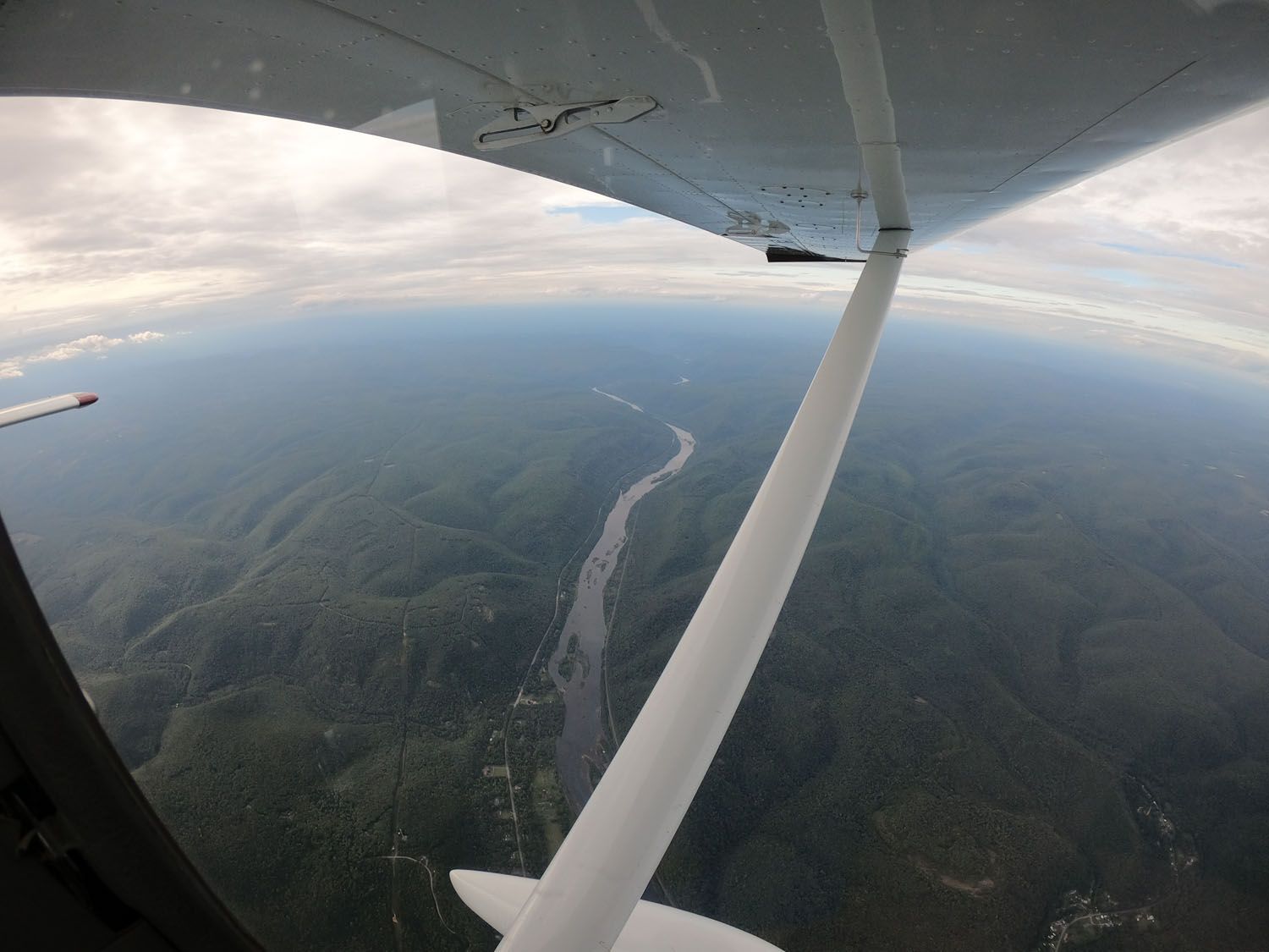
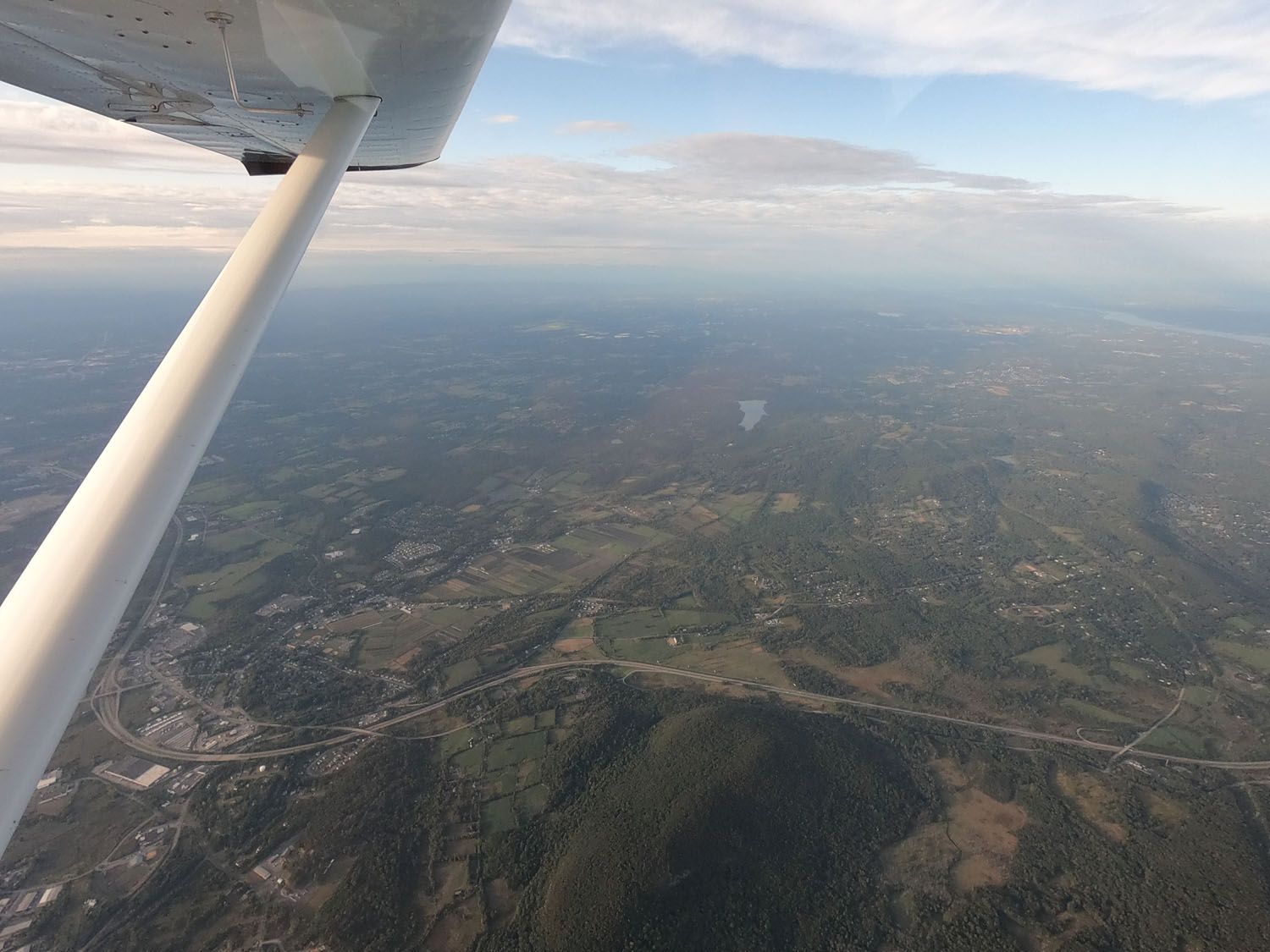
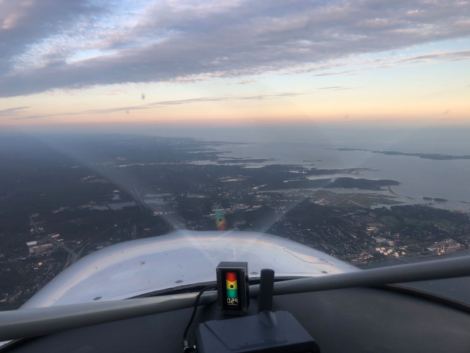
I wasn’t far from the airport on the climb-out when the clouds cleared for good. Pittsburgh rolled by on the right, then the foothills of Pennsylvania appeared between in the GlaStar’s windshield V-brace. I flew right over Lock Haven and Williamsport, thinking of Pipers and Lycomings. And wondering if the O-320 up front recognized home.
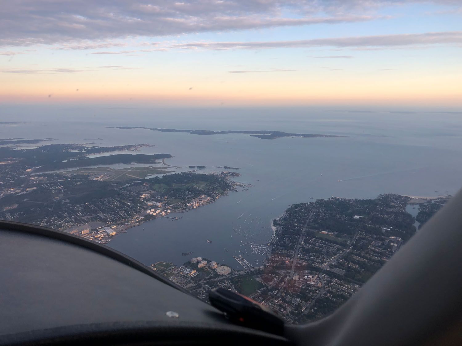
As the sun moved toward the horizon behind me, I caught a glimpse of the Hudson, and could see NYC in the murky distance to my right. I knew, then, that it wouldn’t be far. (One of the biggest adjustments to living on the east coast is how close everything in compared to the west. Pittsburgh, NYC, Providence, Boston all seem to be right on top of each other. Heck, spend too much time checking the weather on the iPad and you might miss Rhode Island completely.
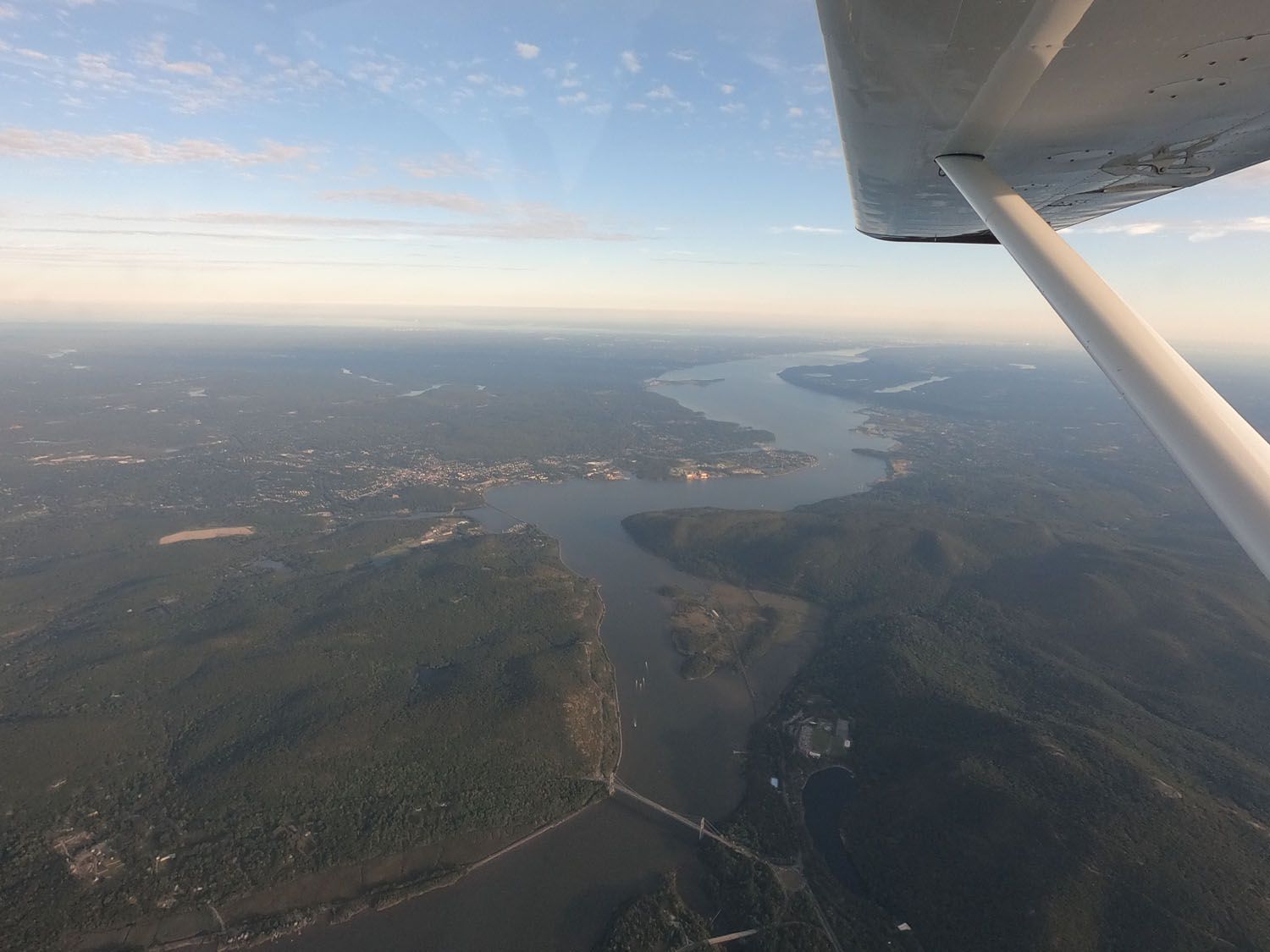
Soon enough the coastline of southern Rhode Island hove into view, thick fingers of salty water clawing at the land, glistening in the evening light.
It was just about sunset when Charlie touched down on Westerly’s Runway 25, us extending a bit to allow a Robinson R44 to land, and, if I’m honest, to prolong the anticipation by just a moment or two. Twenty minutes before 7, two and a half amazingly unstressful and enjoyable days out from Portland, I backed the GlaStar into its (his?) temporary tiedown, unloaded a shameful amount of gear from its baggage area, and did the last of my logbooking.
Both legs of the day were 3.1 hours, according to the Garmin app. A nice symmetry. I’d gone a bit faster and lost some tailwind in the end, so that my average fuel consumption for that leg was almost 8 gph.


Neat journal, Marc. Thanks for the write-up. Looking forward to more Glastar tales from you and Omar in the future 😉
Marc, Thanks for the great cross country documentary and photos. From California our farthest venture has been Oshkosh. We had planned a 3 week tour of the east coast in our RV7A departing on May 28 this year but the tornadoes, flooding, etc delayed us too long so we had to abort. In your opinion, what is the best time of year to attempt it again? Thanks, Scott
Scott: Fall is a great time of year in the east. Fairly benign weather, still warm (ish). Spring can be really iffy; this year in New England it was cold and clammy very late. We were worried summer wasn’t going to come.