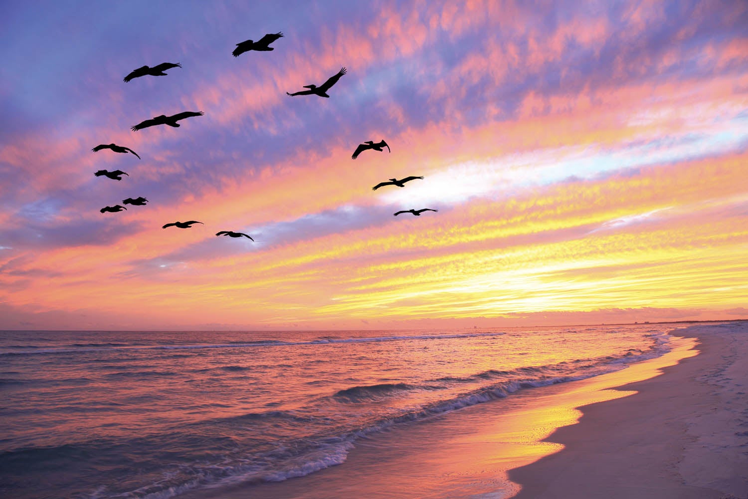
Sunrise on the Gulf Coast. No matter the time of year, the critical hour as the sun breaks the horizon is always interesting. In aviation, “interesting” usually means challenging. Moisture is the dominant feature of the air down there and as the temperature drops in the early morning, the dewpoint remains the same so the spread becomes razor thin. All it takes to fall over the edge is a minor change—the flap of a butterfly’s wing, perhaps—and the day is either instantly clear or solidly overcast (at least for a little while). Understanding the subtleties of the region is part of the art of making good weather decisions. Like anywhere, it takes a while to learn to read the signs. I had been doing it for more than 30 years and, some days, I could still get surprised.
On this particular morning, our mission was to deposit my wife at College Station, Texas. She normally flew the trip herself, several days a week, but the need to bring her ground vehicle home for a few weeks meant that she needed a chauffeured trip for a change. Our goal was to get me home as early as possible, so we planned a 7 a.m. launch, shortly after sunrise. METARs before sunrise were clear at most reporting stations, though I give little credence to automated reports from the pre-dawn hours. College Station (KCLL) was reporting broken skies at 1100 feet agl, as was neighboring Brenham—both affected by being close to a river bottom. College Station’s Easterwood Tower doesn’t open up until 8 a.m. so we didn’t have any firsthand reports. But Louise had flown this morning trip for about four years and she was confident that we’d be VFR by the time we got there.
Sure enough, it was clear for about half the trip, and then we came up on a low overcast layer (with a few breaks) just about the time we approached the Brazos River. Coming out from under the Houston Class B airspace at 2800 feet—there was no reason to climb farther since we only had 45 miles to go—the tops appeared a good 1000 feet below us. In the distance, we could see the subtle colors that told us that there were broad breaks in the layer ahead. In fact, the AWOS was now calling the conditions at KCLL scattered at 1100. Sure enough, the undercast turned into those ragged wisps of humidity as we approached 15 miles out. While I wouldn’t call it clear, it certainly was flyable.
Which Way Will It Go?
We were, however, at the tipping point—that time in the morning when it could go either way. Either the wisps would evaporate as the oblique sun became more direct or they would coalesce into actual lumps of cumulus—merging into a layer with bases at 1000 feet, tops around 3000 feet—and blocking the sun from boiling them away for several hours at least.
This tipping point has caught many an unaware pilot with little experience in the area. I commonly looked out at sunrise to see clear skies. But by the time I had sauntered out to the hangar and casually opened things up, a thin haze had developed into a few small clouds. By the time I cranked up the airplane and taxied for departure, I have seen those few clouds become a layer that requires an instrument departure if I really want to leave the ground. On days like these, you need to fly at first light and be back on the ground before the layer fills in—or wait until midmorning when the ceilings go up to the standard 2000-foot level and then begin to break up. Launching early into a clear sky without caution can leave a VFR pilot stranded on top of a cloud deck with low ceilings beneath—not a good combination unless you have enough fuel to wait out the (usually) inevitable burn-off by 9:30 a.m. or so. Unfortunately, I have seen cases where the uninitiated didn’t have the patience or understanding of the normal cycle, panicked themselves into a rash descent and ended up impacting the terrain before getting things under control. Circling around at minimum fuel burn is a better answer—but it can be nerve-wracking.
On this trip, however, my concern was not getting into College Station—we were almost there. I wanted to make it home after a very quick turn, so I was interested in what was going to happen next! We entered the downwind about a minute before eight and precisely on the hour the morning announcement came from the tower operator—open for business and “RV Four Mike Sierra, cleared to land, Runway 16….” They might not be in control but they are listening early—and know my wife’s tail number by heart.
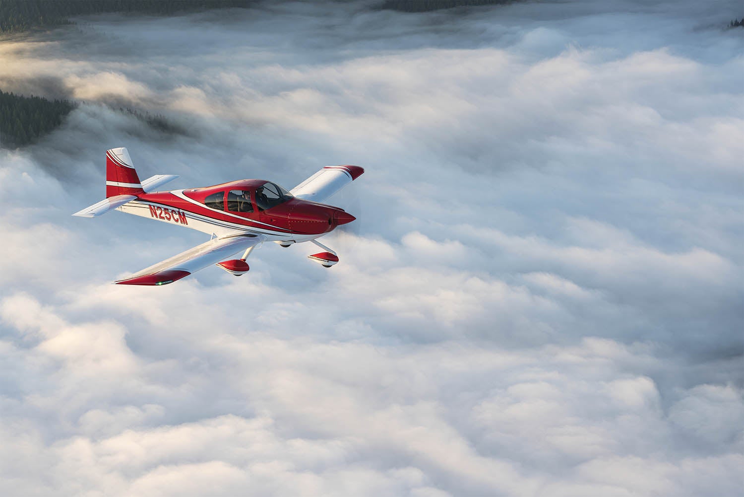
It took only a couple of minutes for Louise to hop out and for me to settle into the left seat for the return trip. A few more and I’d received an intersection departure to save taxi time. On the takeoff roll, the sky looked slightly more dense with vapor than it was just minutes ago but it was legally “few at 1000”—no one could argue with that. In 45 seconds, I was over the tops of the wisps and headed southeast to a much more solid undercast.
On the way up, just 20 minutes earlier, the undercast extended to about 40 miles southeast of College Station—it had been clear closer to home. Now it was apparent that the tipping point had been reached—and the area was quickly falling onto the cloudy side of the day. The AWOS closest to our home base was still calling for clear, as was Galveston, on the coast itself. Today, the atmosphere was going from clear to overcast quickly—sort of like one of those science demonstrations where a supercooled glass of liquid is disturbed and suddenly freezes solid. This was happening from the north to the south and this could be pretty scary for someone not familiar with the region.
But after all these decades, I had that knowledge. Generally, with a little bit of an onshore breeze, the coast will be clear and the clouds form up on a line somewhere inland. That was the situation today, and I was comfortable that even if the weather went overcast at home, I could fly another 15 miles and visit the island for an hour while I waited for things to lift.
An Improvement Ahead
As I progressed rapidly toward the Houston area, the undercast thinned. As I crossed Interstate 10, it broke up into those scattered wisps and by the time I turned the corner around Hobby’s airspace it was once again clear below me. Had I been setting out on the trip up to College Station about this time, I probably would have said “no thanks” and sat on the ground for a couple of hours waiting for things to clear up. The forecast, in fact, called for clear by 10 a.m., which is exactly what happened. That is a typical forecast for the time of year—resulting in the idea of going very early or waiting until closer to noon. Of course, I could always file IFR, but that entails all sorts of complications when you live at an airpark with no approaches.
The lesson to be learned is to know your local weather. With all this cloudiness and moisture, I was comfortable plugging along—because I had watched it for years. I know within a few statistical percent what it is going to do based on the conditions I observe. Or I know (from the observed conditions) that it might be totally unpredictable. This local knowledge takes time to acquire—but if you set about learning it, your margins will be a lot better. It takes a conscious effort to see the patterns—and it doesn’t have to be just on flying days that you watch. I make it a habit to watch the weather every day, even when I am not flying, to prepare for the days that I do. When Louise and I relocated to Nevada, I did the same thing to learn my new environment. It is important to remember that you can’t change the weather. But local knowledge will help you understand it to maximize your potential for flying when you really want—or need—to go.


Paul, thanks for adding some background to a phenomena I observed years ago when soaring out of Uvalde TX. Uvalde is one of the premier sailplane racing sites in the country. It seemed for every day of the 14 day long National Championships, we’d wake up to clear or slightly misty skies. Heading to the airport the sky would fill-in with a low stratus like layer or above ground fog. No sun reaching the ground was a bad indicator for this eastern pilot, but by then end of the pilots meeting at 9 or 10 am, the layer would break-up into low scattered cumulus. The base of the cumulus would rise from say 1,000 feet to the normal 5-7 thousand for the rest of the day. Scattered cumulus at 7k is sailplane racing paradise!
I came to understand the morning overcast as a feature rather than a fault. It kept things cools while we assembled the aircraft and wiped them down while ensuring a solid temperature inversion at the surface. That 500′ to 1,000′ inversion led to soaring-perfect conditions the rest of the day – day after day after day! Uvalde is the best!
Comments are closed.